HT Cable Towers – Cautions for Drone Pilots!
Punjab is blessed with natural resources from long time in human history as the name itself profound the combination of Five Great Rivers in a region of North Part in India. Floating water throughout the river channels opened up thousands of opportunities to win for farmers and became leading food source on global platform from 19th to 21st century.
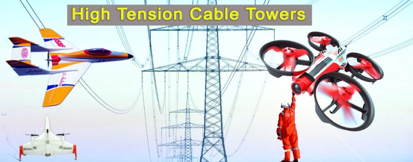
Lets focus little deep on water resources just within Punjab since at Martianis our goal is to become number one flight training institute and serve the region of Punjab with proud, we want to spread the awareness and create new opportunities for young to set future goals right in the city not thousand miles away in Sahara desert where I stayed more than 4 Years during the century with when tallest tower of the world just took off and metro link lines were connecting from city to city. In this article, the idea is to understand High Tension Cable Towers and cautions to fly drones in their installed field. Punjab produce large amount of electricity and distributes to other regions as well, not knowing exact trade factors but we are trying to understand flying drones or UAV’s in the area where these giant towers are installed at various heights according to the cables they are carrying to transport electricity. As most of us have seen these giants standing in crop fields are not laid on any chart that Pilots can refer when flying in that perticular area or region.
It is one of the responsibilities of Pilot to make visual plan with VFR or any other reference charts that can help to understand buildings or objects at height marked so pilots can be take appropriate action to maneuver aircraft or may be change the flying route that has not been assigned yet for Drone Flying regardless VLOS or BVLOS flying operations. During our survey done by Martianis Engineers in planning to straighten the air traffic routes with new vectors for drone operations or at least the consideration to lay down routes officially, it was noticed and pointed out many high rise buildings that need to addressed in VFR charts or should be presented in transparent documents such as by municipal corporations or private companies to help drone flying operations safe and sound.
In conclusion, it is solely Pilot’s responsibility to gather enough data prior to any flight that cause damage to aircraft, countless causes with consequences need to considered prior to commence it! Learn more about how to read HT Cable Towers embedded in VFR Charts and much more exciting about sky highways at Martianis Flight Club.